Why SMR sites should start a displacement baseline before construction
For a new SMR site, the cheapest time to start watching the ground is before anything is built. Satellites make that possible without installing anything.
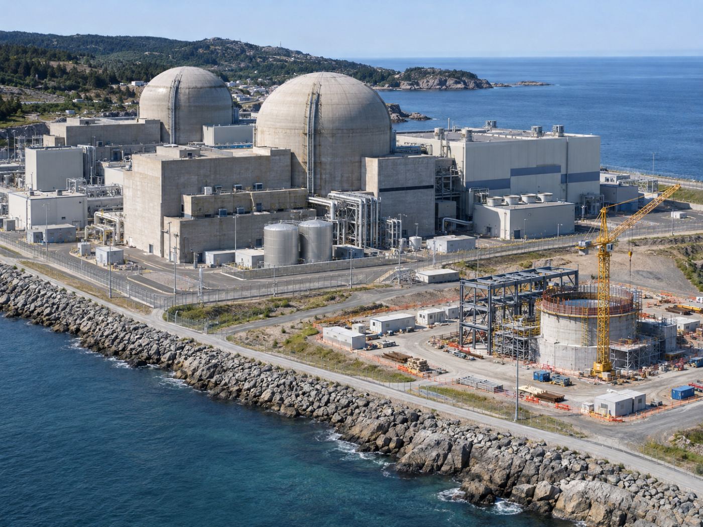
Small modular reactors are planned at new sites and at existing nuclear and industrial locations. Each project spends years on site studies, permits and preparation before the first module foundation is poured. During that time, the ground is excavated, filled, compacted and loaded.
Most of this movement is expected. The question for later is different: once the plant runs, is a small settlement new, or has the site always moved like that? Without a record from the start, it is hard to tell.
Here we explain why a satellite displacement baseline helps, how it can be built from public data, and how it connects to long-term structural screening.
Category: Industry
A baseline answers the question “is this new?”
Settlement data is most useful as a time series. A single survey tells you where the ground is today; a series tells you whether it is speeding up, slowing down or following the seasons. For safety-class structures, that history supports later reviews and life-extension decisions.
Radar satellites have been collecting data over most sites for years. Sentinel-1 archives go back to 2014, and new passes arrive about every 12 days. That means a baseline can start now, even for a site where nothing has been installed.
A displacement record across an SMR’s life
Archive InSAR shows how the area moved in past years.
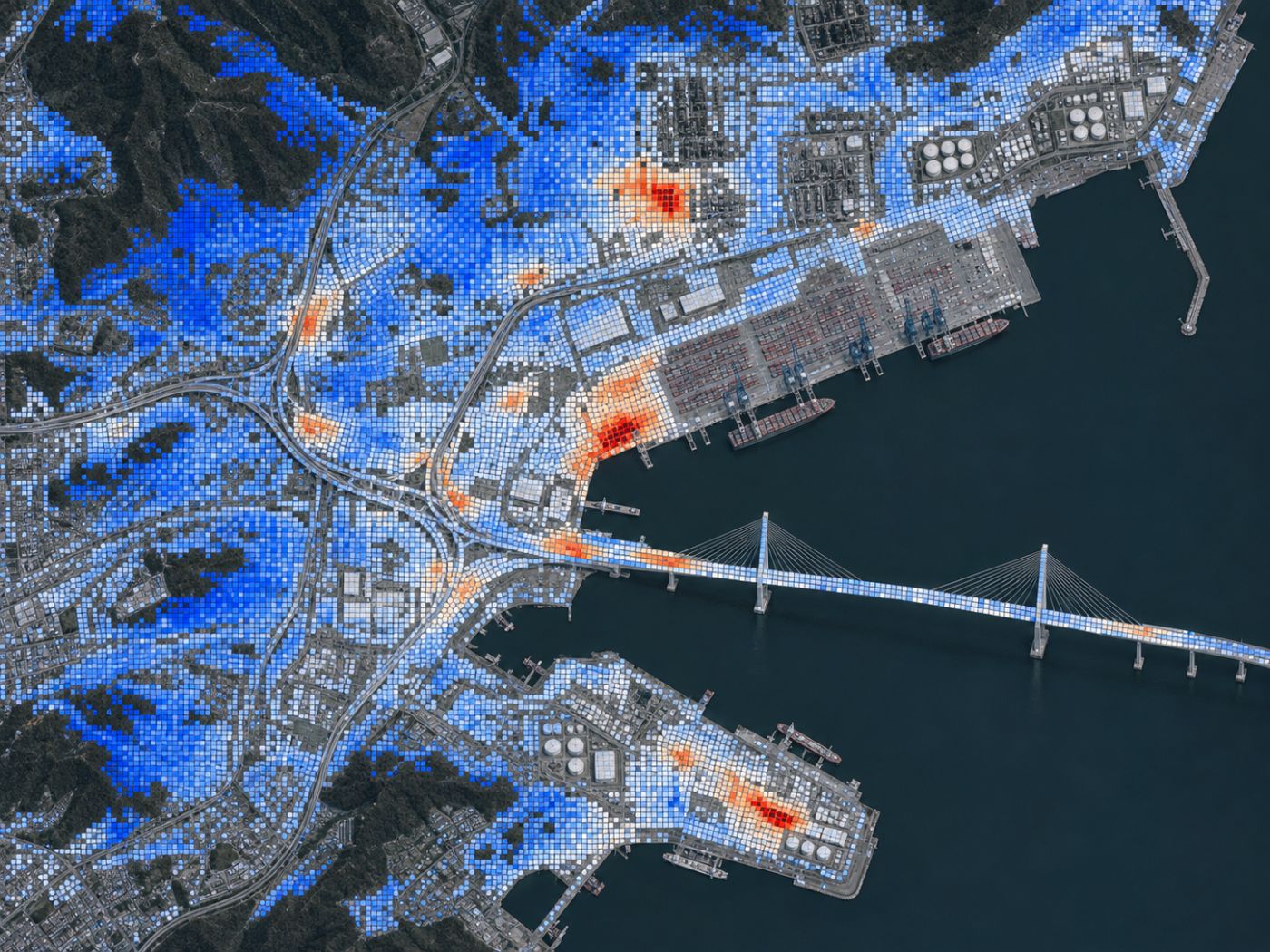
Excavation and fill are tracked cell by cell.
Foundation zones are compared with a 2 mm/yr screen.
The degradation model takes over the same zones.
Quarterly screening supports periodic reviews.
How PILLAR can follow one site. Not a regulatory requirement or a licensing document.
The same zones carry over from ground to structure
In PILLAR, a structure zone registered during site preparation keeps its identity. When the foundations and buildings are complete, the same zone gets structure attributes such as year built, concrete strength and cover, and the degradation model starts adding durability results to the displacement record.
For nuclear structures, the default screen is 2 mm/yr and an angular distortion of 1/1000. Coastal sites also get chloride exposure from climate data and distance to the sea, which matters for containment and auxiliary building concrete over decades.
What a baseline does not do
A satellite baseline is not a geotechnical investigation, a licensing study or a regulator review. It does not measure below the surface, and it does not replace instruments required by design or regulation. It is an independent, repeatable record that helps the owner and engineers notice change early and compare it with their own monitoring.
Satellite baseline vs. site instruments
When installed
From archive data, before construction
Instrumented points
Every 80 m cell in the zone
Can measure below ground
Surface only
Design and regulatory monitoring
Independent screen and history
Starting is simple
A baseline needs the site boundary and the zones you care about. PILLAR collects the satellite and climate data, builds the series and reports rates against the screen. Field instruments and surveys can be compared on the same screen when they arrive.
So far we have looked at why SMR sites benefit from an early displacement baseline. You can read more on the Nuclear plants and SMRs page.
Frequently asked questions
How far back can a baseline go?
Sentinel-1 data is available from 2014 for most areas. PILLAR uses recent pairs by default and can extend the series where data allows.
Is this part of the licensing process?
No. It is internal screening and an independent record. Licensing and regulatory monitoring follow their own requirements.
Does it work offshore or for floating units?
PILLAR is designed for land-based structures and ground. Offshore and floating designs need a different approach.
Not sure which structure to inspect first?
We can start with a screening of your structures from public satellite and climate data.
Request a pilot →Edited and answered by the MomentCube PILLAR team / james@momentcube.com · +82-32-212-1011