InSAR displacement monitoring for structures.
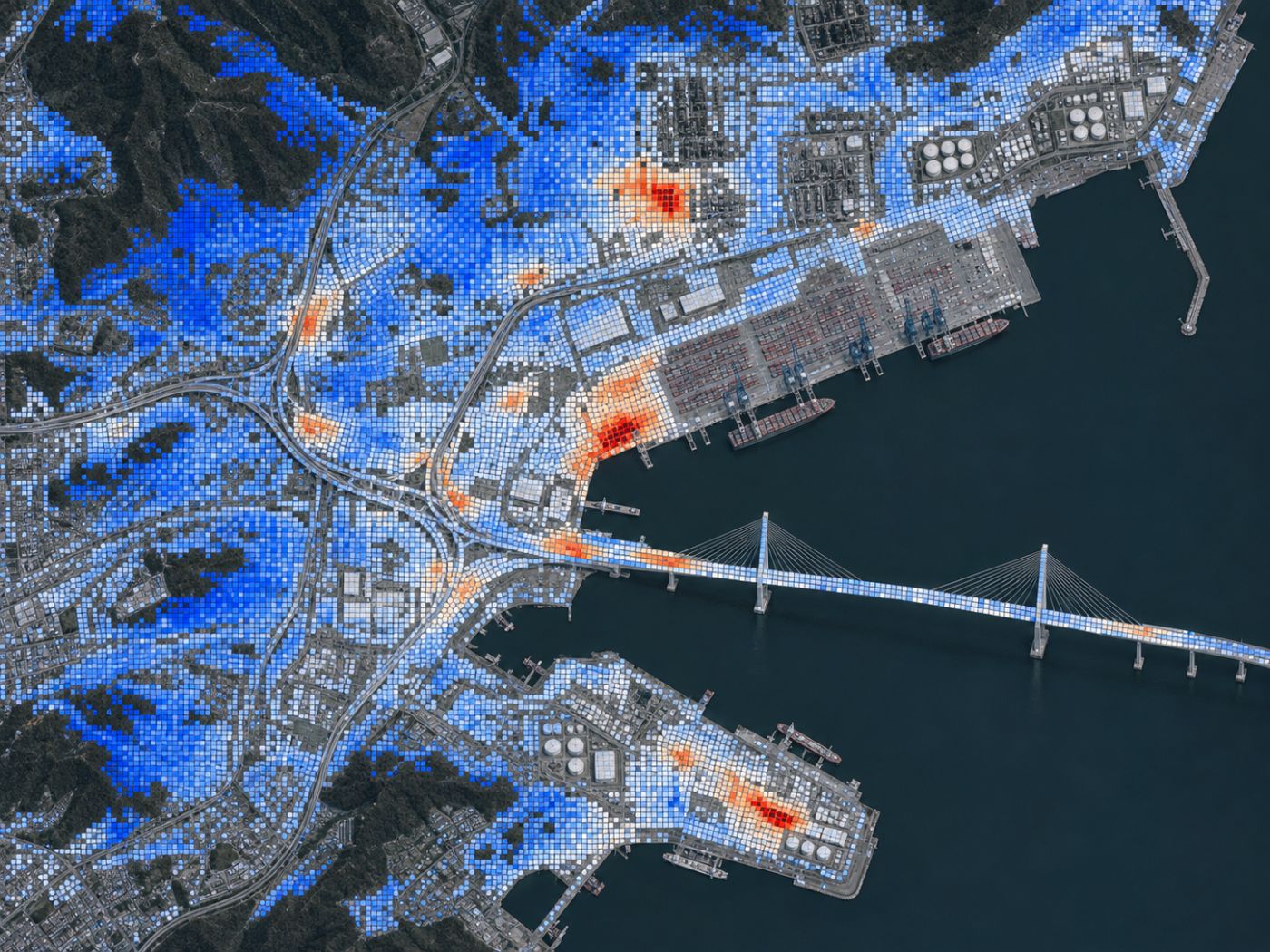
Yearly settlement and differential settlement rates per cell, from satellite radar, checked against screens for each structure type.
How it measures
Radar phase shifts become millimetres per year.
InSAR compares radar images of the same place taken on different dates. PILLAR uses Sentinel-1 interferograms, either public ARIA GUNW pairs or pairs generated on demand through ASF HyP3, and converts each pair’s vertical displacement into a yearly rate per cell.
- 80 m cells (HyP3 20×4 looks), 12-day revisit
- Cumulative displacement series, yearly velocity with uncertainty and accelerating cells
- TimesFM six-month forecast with a 10–90% band
- If there are too few pairs (minimum 4 pairs over 180 days), rates are shown as indicative only and kept out of the index
Screens
Each structure type has its own rate and distortion screen.
A rate means little without context. PILLAR compares each structure with a screen set for its type: a settlement rate and an angular distortion limit.
| Structure type | Rate screen | Angular distortion |
|---|---|---|
| NPP containment and auxiliary | 2 mm/yr | 1/1000 |
| SMR sites and module foundations | 2 mm/yr | 1/1000 |
| Dams and spillways | 3 mm/yr | 1/1000 |
| Ports, LNG and plants | 4 mm/yr | 1/500 |
| Long-span bridges | 5 mm/yr | 1/500 |
Default screens in the PILLAR app. Owners can adjust them to their own design criteria.
FAQ
Frequently asked questions
Does InSAR replace levelling or GNSS?
No. InSAR is a screen that helps decide where to place levelling and GNSS first. PILLAR lets you compare their results side by side.
Which period of data is used?
By default, public pairs from the last two years. Where pairs are scarce, PILLAR orders up to 24 consecutive pairs from the last two years through HyP3 to build a time series.
Can PILLAR use NISAR?
Yes. PILLAR is ready for NISAR data, and commercial high-resolution SAR such as TerraSAR-X or ICEYE can be added at data cost.
Related pages
Work with us
Start with a screening pilot.
No equipment on site. We screen your structures from public satellite and climate data first, then compare the priority list with your own inspection and survey results.