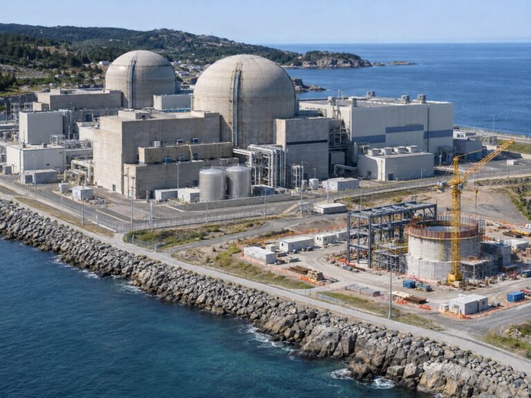
Sinkhole screening, how ground subsidence data helps road and city managers
If you manage city roads, utility corridors or construction zones, the most practical way to decide where to search for hidden cavities first is sinkhole screening.
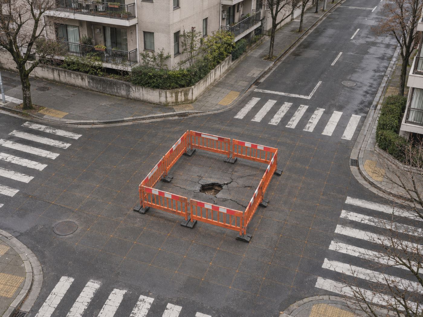
A sinkhole in a city street rarely appears without a history. Water from a leaking pipe washes soil away, excavation for a new line disturbs the ground, or a cavity grows slowly beneath the pavement. For a while the road surface holds, and then it gives way, often in a place that looked normal the week before.
Road and city managers cannot scan every street with ground-penetrating radar every year. They need a way to choose which segments and zones deserve that effort first. Slow settlement of the surface, measured over months, is one of the few signals that can be watched over a whole city at once.
Below we explain what subsidence screening can and cannot tell you, which records make it more useful, how it connects to field surveys and how we built it into PILLAR. If you are planning cavity surveys for your roads, take a look.
Category: Industry
Sinkhole screening looks for ground that is slowly going down
Many sinkholes are preceded by subsidence: the surface above a growing void or loosened soil drops by a few millimetres or centimetres before it collapses. The USGS overview of sinkholes explains how water and soil movement create them, both in natural ground and around human activity.
Radar satellites can measure that kind of slow movement over large areas. Using Sentinel-1 interferograms, such as the GUNW products from the Alaska Satellite Facility, a screen can estimate yearly settlement rates for every cell along a road corridor and highlight cells that sink faster than their surroundings.
Not every sinkhole gives a warning that satellites can see. Sudden collapses from a burst pipe, or voids under rigid slabs that do not deform, may show little surface movement beforehand. Screening improves the odds of looking in the right place; it does not promise to catch every event.
Subsidence screening vs. field survey
Surface settlement over months
Voids and loose soil below
Whole road network
Selected segments
About every 12 days
Planned campaigns
Choose where to look
Confirm and act
Records of pipes and excavation make the screen more useful
Subsidence alone can have many causes, from groundwater pumping to fresh fill settling. Context separates them. Cells that settle near old water and sewer pipes, recent excavation or a construction corridor deserve more attention than cells in a quiet residential block with no works nearby.
In PILLAR, sinkhole and ground-subsidence precursor zones are their own target type. When a zone shows cells at risk, the action queue suggests cross-checking utility and excavation records and treating those cells as the first candidates for a ground-penetrating radar survey.
Pothole-risk road segments are handled in a similar way. Long corridors such as expressway sections are split into cells, and the screen ranks them so that maintenance crews know which kilometres to look at first.
Sinkhole screening narrows the search, and GPR confirms
A satellite cannot see a cavity under the pavement. It sees the surface. That is why screening ends where the field survey begins: ground-penetrating radar, inspection cameras in pipes and, when needed, drilling are what confirm or rule out a void.
The benefit is focus. If a city can survey only a fraction of its roads each year, a ranked list of segments and zones helps it spend that budget where the evidence points, and to repeat the screen after works or heavy rain.
In Korea, underground safety is governed by the Special Act on Underground Safety Management, which sets out surveys and safety checks for underground works. A screening tool supports that work; it does not replace any of the surveys the law requires.
PILLAR ranks road segments and zones by one index
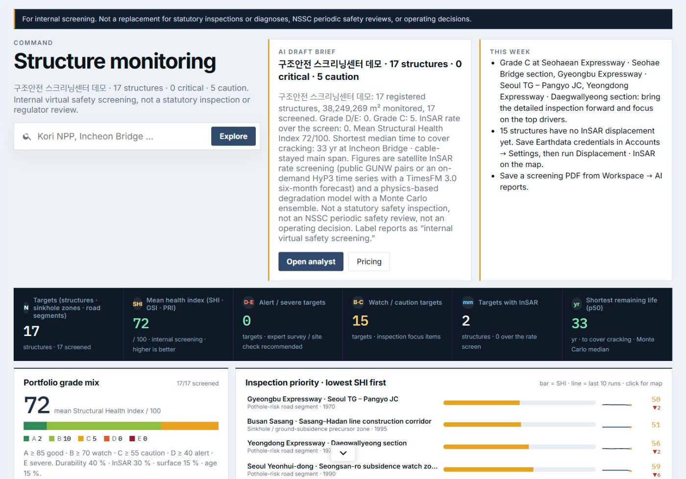
In PILLAR, road segments and sinkhole precursor zones sit in the same portfolio as bridges and retaining walls. Each one gets a 0–100 index and an A–E grade, so a road agency or local government can see all of its assets in one ordered list.
The demo workspace includes several examples: expressway sections registered as pothole-risk road segments, and urban zones in Seoul and Busan registered as sinkhole precursor zones. They show how a screen sorts very different assets into one inspection order.
As with every PILLAR result, these are internal screening outputs. They help decide where to send survey crews first, and they are labelled clearly so that nobody mistakes a ranking for a finding.
So far we have explained how sinkhole screening can focus cavity surveys on the right roads and zones, and you can find more on the Ageing public infrastructure page.
Frequently asked questions
Can satellites predict exactly where a sinkhole will open?
No. They can flag areas that are slowly settling, which are good places to survey first. Confirmation needs ground-penetrating radar or other field methods.
How often can a road network be screened?
Sentinel-1 revisits about every 12 days, so screens can be repeated regularly, for example after major works or heavy rain.
Do we need to share pipe records?
It helps but is not required. Records of pipes and excavation make it easier to separate harmless settlement from movement worth checking.
Not sure which structure to inspect first?
We can start with a screening of your structures from public satellite and climate data.
Request a pilot →Edited and answered by the MomentCube PILLAR team / james@momentcube.com · +82-32-212-1011